
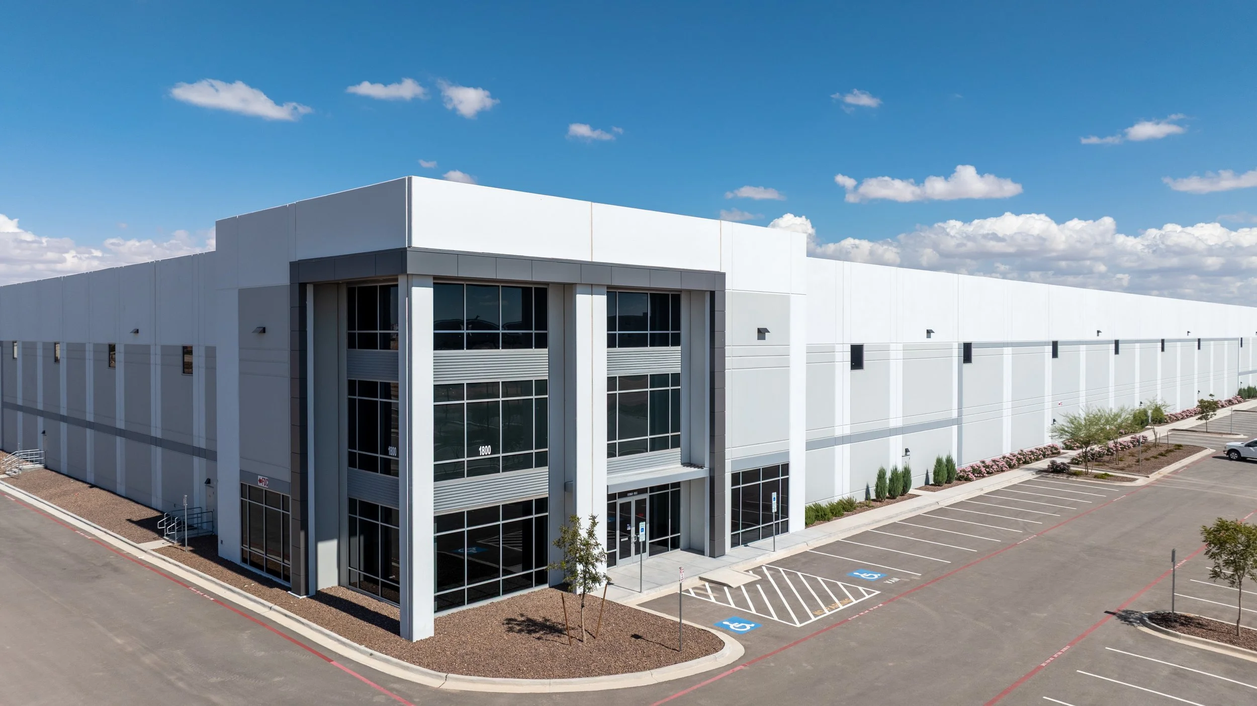
Explore Our Services


What We Offer For Major Construction
Weekly And Monthly Construction Progress Documentation


Sequential Site AuditsMilestone BenchmarkingSystematic Site SurveysLogistical Conflict IdentificationRemote Stakeholder OverviewsHigh-Resolution Asset ArchivingRegulatory Compliance DocumentationEnvironmental Impact MonitoringStrategic Milestone ReportingPublic Relations Media KitsSite Updates
High-Impact Aerial Media For Marketing + Distribution
Automated Progress SweepsStandardized Status CapturesRemote Inspection Fly-oversCinematic Project NarrativesDynamic Time-Lapse ProductionBrand-Aligned Visual ContentStrategic Marketing DeliverablesImmersive Virtual Site ToursTransparent Project StoryboardingInvestor Progress Briefs
5.6K Resolution Capable
*Ground Filming Available
Advanced Service Such As Land Mapping and Digital Terrain Modeling
Core Benefits for Construction
Precision Measurement: Stakeholders can calculate distances, surface areas, and stockpiles with centimeter-level accuracy without setting foot on the "active" site.
As-Built vs. Design Verification: Project managers can overlay CAD (Computer-Aided Design) files directly onto the orthomosaic to ensure that the foundation, utility lines, and structures align perfectly with the original blueprints.
Enhanced Safety & Accessibility: Mapping provides a comprehensive view of hazardous or hard-to-reach areas, reducing the need for ground personnel to navigate unstable terrain or high-traffic zones.
Digital Site Continuity: By generating a new map weekly or monthly, the project creates a "time-machine" of the site’s evolution. This is invaluable for resolving disputes, as it provides undeniable visual proof of underground utility placement before it was covered by concrete.
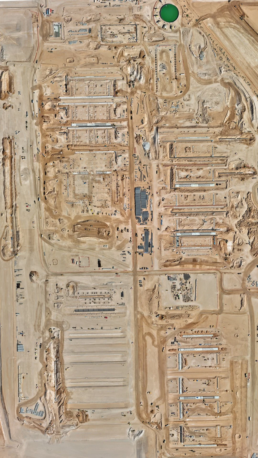
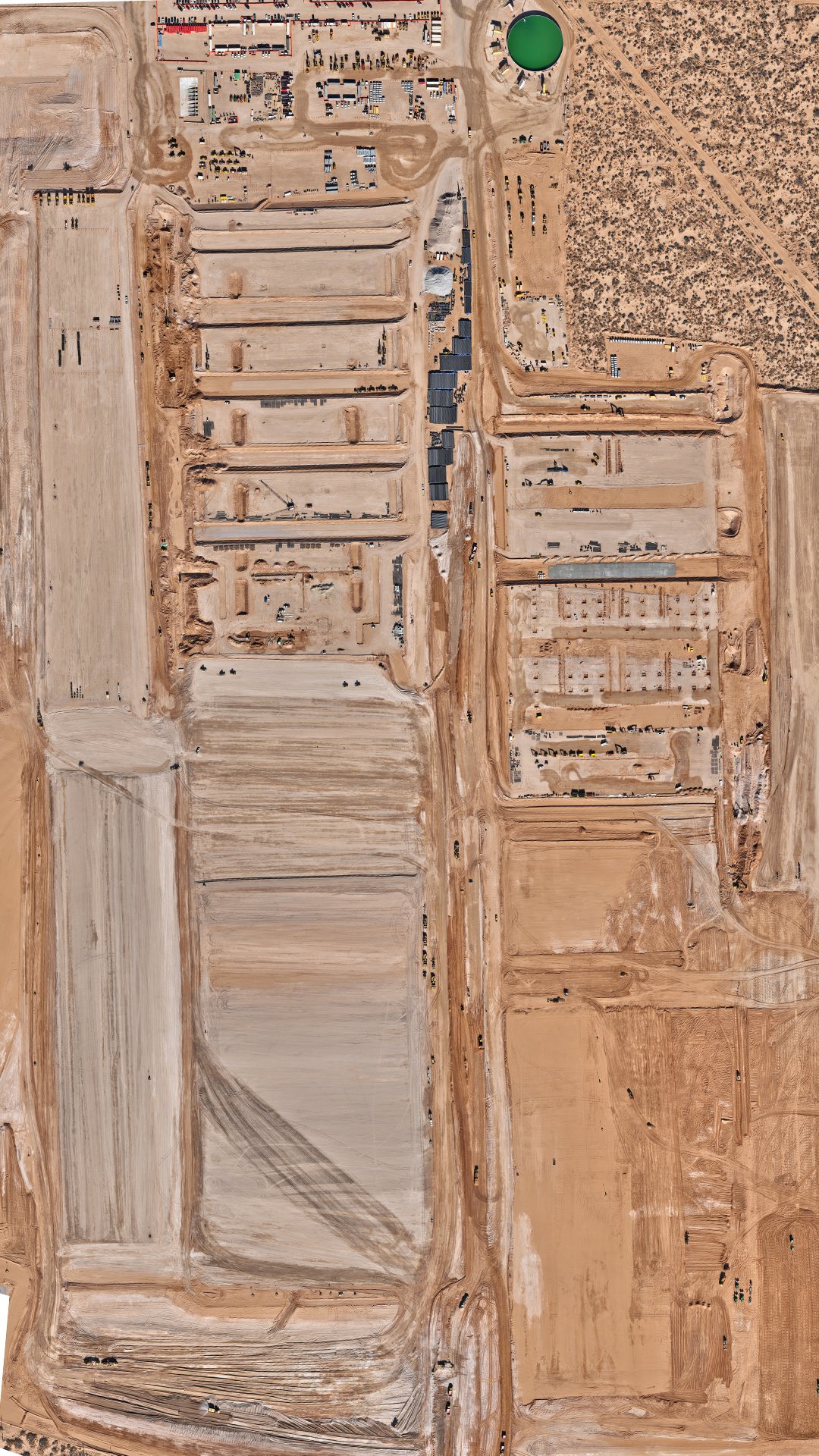
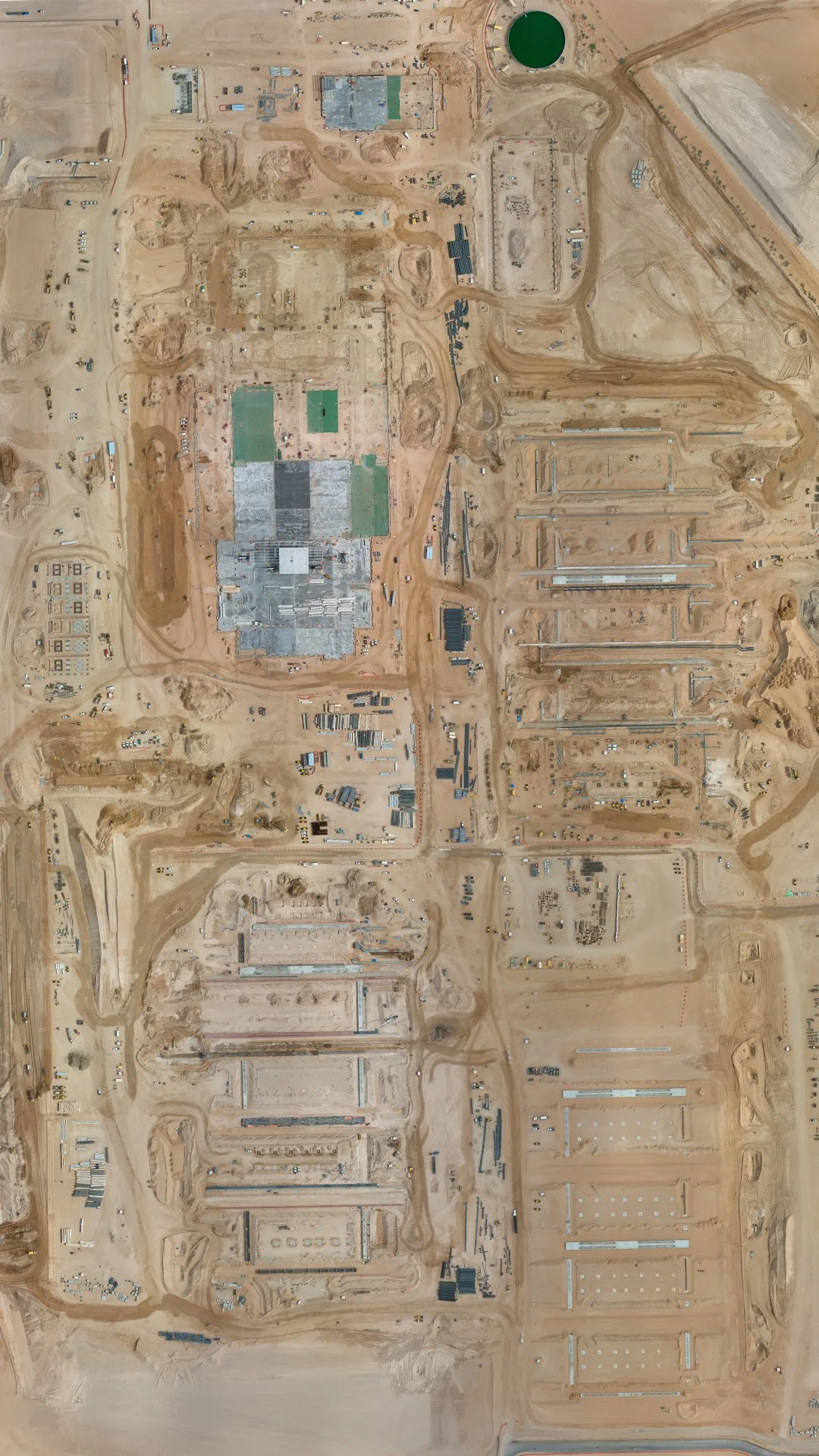
Georeferenced Deliverables for Land Surveying and Engineering
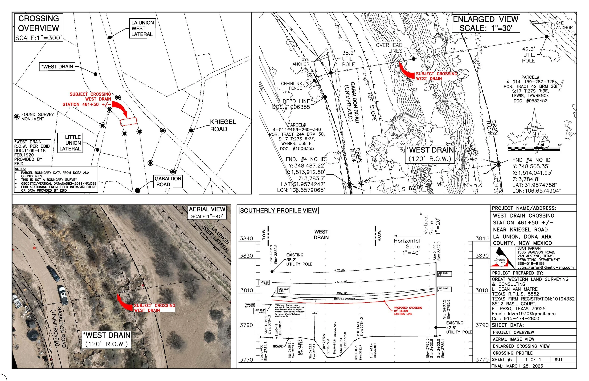
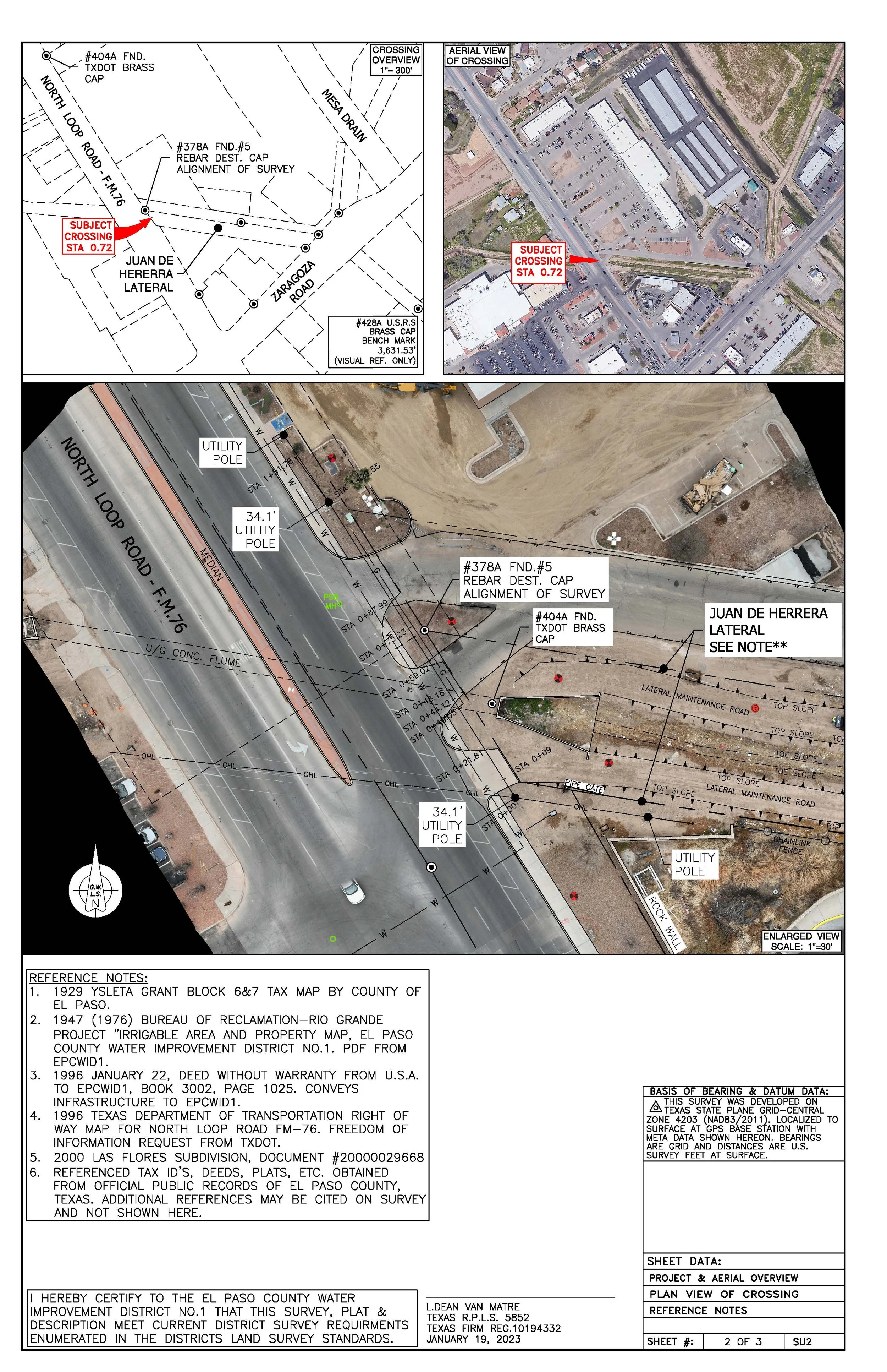
Georeferenced RTK aerial mapping provides survey-aligned orthomosaics, terrain models, contours, and CAD-ready datasets tied to real-world coordinates, enabling accurate integration with engineering and GIS workflows.
These deliverables support surveying and engineering by improving site planning, drainage analysis, earthwork calculations, utility coordination, and design verification while reducing field time and improving spatial accuracy.
3D Modeling
3D modeling provides stakeholders with an interactive and visually accurate representation of site conditions, improving communication, planning, and project understanding throughout construction.
Engineering teams can utilize georeferenced 3D models for terrain evaluation, grading analysis, volumetric measurements, drainage planning, and integration with CAD and BIM workflows.
Construction teams benefit from 3D modeling through improved site coordination, progress tracking, clash identification, and visualization of evolving project conditions in a real-world spatial context.
Get In Touch
If you're interested in working with us, complete the form with a few details about your project. We'll review your message and get back to you within 48 hours.
Our Story